Your message has been sent. Thank you!
 Your message has been sent. Thank you!
I'm ready to book
Hmm, I still need more information
My information
Detailed information
From $ USD
Ho Chi Minh Trail Motorcycle Tour – 12 Days

Duration:
12 Days/ 11 Nites

Destinations:
Hanoi - Nha Trang

Tour Level:
More offroad (>40%)

Highlight:
Destination:
Ha Noi
Mai Chau
Tan Ky
Phong Nha
Ke Bang National park
Khe Sanh
Vinh Moc tunnels
Hue
Da Nang
Hoi An
Kon Tum
Buon Me Thuat
Lak Lake
Nha Trang
Pickup from:
Hanoi, Airport or any hotel in Ha Noi city
Suitable Bikes:
Honda XR150L, Honda CRF300L,





The Phu Yen Province Vietnam map reveals a province rich in natural beauty, cultural heritage, and peaceful coastal life. From the north’s geological wonders to the historical heart of Tuy Hoa and the dramatic seascapes in the south, each region offers its own story and unique charm. Vietnam Motorbike Tour Expert will offer a closer look at the places worth exploring, helping you experience Phu Yen not just as a destination, but as a feeling.
When looking at the Phu Yen Province, one quickly realizes the remarkable diversity and strategic location of this coastal region. Situated in the South Central Coast of Vietnam, Phu Yen lies east of the Truong Son mountain range, covering a total area of approximately 5,060 square kilometers. The province is bordered by Binh Dinh to the north, Khanh Hoa to the south, Gia Lai and Dak Lak to the west, and the
Phu Yen’s 189-kilometer-long coastline is one of its most defining geographical features. It winds through scenic cliffs, peaceful lagoons, secluded capes, and crescent-shaped bays, creating a striking contrast where the mountains meet the sea. This natural layout makes Phu Yen ideal for developing resort tourism, marine sports, and eco-cultural travel. According to the Phu Yen Province Vietnam map, popular attractions like Bai Xep Beach, Da Dia Reef, O Loan Lagoon, and Dien Cape are all conveniently distributed along this coastal stretch.
Beyond its natural beauty, the map of Phu Yen also tells a story of cultural richness. Scattered throughout the province are historical landmarks tied to national heroes and ancient civilizations, particularly from the Cham and Vietnamese cultures. This blend of geographic and cultural elements gives Phu Yen a unique charm, positioning it not only as a rising tourism destination but also as a promising center
The Phu Yen Vietnam map is dotted with natural wonders, cultural sites, and peaceful countryside landscapes. For travelers seeking authentic and uncrowded experiences, exploring each region of the province: north, central, and south, offers a well-rounded itinerary.
The northern part of Phu Yen Province stretches along coastal roads and lush inland terrain. This area is where the mountains draw close to the sea, creating dramatic views and calm bays – ideal for sightseeing and relaxation.
Among the most famous natural landmarks on the Phu Yen Vietnam map, Da Dia Reef is a geological wonder made up of thousands of black basalt columns arranged in neat hexagonal and round shapes. Formed by volcanic activity millions of years ago, this unique structure stretches into the sea, creating an otherworldly sight. The contrast between the dark rock, blue ocean, and white waves makes Da Dia Reef a must-visit for photographers and nature lovers alike.

Just a short drive from Da Dia Reef, Mang Lang Church is one of the oldest Roman Catholic churches in Vietnam, built in 1892. With its striking Gothic architecture and moss-covered façade, it feels like stepping back in time. This site also holds historical importance as the resting place of Alexandre de Rhodes, the French missionary credited with developing the Romanized Vietnamese script. The peaceful grounds and cultural significance make it a favorite for both religious visitors and history enthusiasts.

Marking one of the most picturesque stretches of coastline on the Phu Yen Vietnam map, Xuan Dai Bay is known for its calm, turquoise waters and gentle curves. Surrounded by fishing villages, rolling hills, and quiet inlets, the bay offers ideal conditions for kayaking, boat rides, or simply enjoying a fresh seafood lunch by the water. Bai Om and Bai Tram beaches, located within the bay, are especially pristine and uncrowded, perfect for a peaceful seaside escape.

Venturing slightly inland, Dong Cam Dam is an engineering feat and historical relic that reflects Phu Yen’s agricultural legacy. Completed in 1932 during the French colonial era, the dam stretches over 688 meters and serves as a vital irrigation source for the Tuy Hoa plain. Set against a mountainous backdrop, the dam is both functional and scenic — a great stop for travelers who enjoy lesser-known, quiet spots with local significance.
At the heart of the Phu Yen Province Vietnam map, the central region — especially around Tuy Hoa City — offers a convenient base for travelers and access to some of the province’s most iconic sights. This area blends urban comfort with cultural heritage and coastal beauty, making it an ideal stop for both short visits and extended stays.
Stretching gently along the east of Tuy Hoa City, Tuy Hoa Beach is the province’s most accessible and laid-back beach. With soft yellow sand, clear blue water, and very few crowds, it’s the perfect place for a quiet morning walk, a local-style seafood dinner by the shore, or a sunset swim. Despite its central location, the beach has retained a calm, uncrowded atmosphere that many travelers appreciate.
From the map’s perspective, Tuy Hoa Beach runs parallel to the city center and is connected to various hotels, local eateries, and coastal parks, making it ideal for those who prefer convenience without giving up scenic views.

Overlooking Tuy Hoa from a hill on the north bank of the Da Rang River, Nhan Tower is one of the most important Cham relics in the region. This 12th-century structure was built by the ancient Cham people to worship the goddess Po Nagar and stands as a powerful symbol of cultural continuity in Phu Yen.
The tower’s red-brick architecture is both simple and striking. At night, the site is beautifully lit, offering visitors a panoramic view of Tuy Hoa City below. Its central location on the Phu Yen Province Vietnam map makes it an easy yet meaningful stop for anyone interested in history, architecture, or photography.

Just a short drive south of Tuy Hoa lies Bai Xep Beach, a hidden gem that has gained attention after being featured in the Vietnamese film “Yellow Flowers on the Green Grass.” Unlike many tourist-heavy beaches, Bai Xep remains pristine, with golden sand, crystal-clear water, and gentle waves lapping against rocky outcrops. The surrounding hills and cactus-covered dunes give the area a raw, cinematic beauty.
According to the Phu Yen Province Vietnam map, Bai Xep is part of a protected coastal area and is best explored on foot. It’s also one of the top spots for sunrise watching and peaceful reflection, away from the noise of city life.

The southern part of the Phu Yen Province Vietnam map offers some of the most dramatic coastal scenery in the province. Here, winding mountain passes meet turquoise bays and hidden beaches, forming an area full of adventure, history, and natural beauty. Though less urbanized than central Tuy Hoa, this region attracts travelers seeking authentic experiences and stunning viewpoints along the sea.
Nestled at the foot of Ca Pass, Vung Ro Bay is a natural harbor surrounded by mountains on three sides and the East Sea on the fourth. Historically, it played a crucial role during the Vietnam War as a secret docking site for the legendary “Ho Chi Minh Sea Trail.” Today, the bay is known for its tranquil waters, floating seafood farms, and rich marine life.
Travelers can explore by boat, enjoy fresh seafood right on the water, or simply relax and take in the peaceful view. Its sheltered location makes it one of the safest and most picturesque stops on the southern coast of Phu Yen Vietnam.

Located just beneath the Mui Dien Cape, Bai Mon Beach is one of the most unspoiled beaches in the region. With soft white sand and emerald green water, this small cove is surrounded by gentle hills and cliffs, creating a sense of seclusion and purity. Unlike busier tourist beaches, Bai Mon has a raw, untouched charm — ideal for those who appreciate nature and quietude.
From the Phu Yen Province Vietnam map, Bai Mon is a natural stop along any journey to Mui Dien. It’s also the perfect place to relax after hiking to the lighthouse or camp under the stars.
Also known as Dien Cape, Mui Dien is often regarded as one of the easternmost points of mainland Vietnam — and one of the first places in the country to catch the sunrise. Perched high on a cliff, the Mui Dien Lighthouse has been guiding ships for over a century. The hike to the top is short but rewarding, offering panoramic views of the ocean and Bai Mon Beach below.
On the Phu Yen Province Vietnam map, Mui Dien marks the edge of both geography and symbolism — a place where the land greets the sea, and where travelers can feel both inspired and grounded. Watching the sunrise here is considered one of the must-do experiences in Phu Yen.

Winding along the border of Phu Yen and Khanh Hoa provinces, Ca Pass is one of the most scenic coastal roads in Vietnam. Stretching for around 12 kilometers, it offers spectacular views of mountains, forests, and the sea below. For many travelers, the journey over Ca Pass is just as memorable as the destinations it connects.
On the Phu Yen Vietnam map, this pass serves as the gateway to the southern province and a highlight for motorbike riders and road-trippers. With several viewpoints along the route, it’s a great place to stop, take photos, and admire the harmony between mountain and ocean.

Traveling with the Phu Yen Province Vietnam Map in hand is more than just navigating roads; it’s about uncovering a destination where calm landscapes, local culture, and untamed beauty quietly unfold. Each region marked on the map offers its mood and meaning, inviting you to slow down and truly connect with what surrounds you. The journey becomes less about rushing from place to place and more about appreciating the subtle, soulful character that makes Phu Yen so memorable.
To explore more routes like this, especially if you’re drawn to discovering Vietnam by motorbike, follow Vietnam Motorbike Tour Expert. Their firsthand guidance and thoughtfully designed journeys will help you experience not only the Phu Yen Province Vietnam Map, but also the open road in its most vivid and personal form.
LET'S RIDE WITH US
 Duration:
4 Days/ 3 Nites
Destinations:
Hanoi - Vu Linh - Phu Yen - Moc Chau - Mai Chau - Hanoi.
Tour Level:
Chill Level Tours
Duration:
4 Days/ 3 Nites
Destinations:
Hanoi - Vu Linh - Phu Yen - Moc Chau - Mai Chau - Hanoi.
Tour Level:
Chill Level Tours
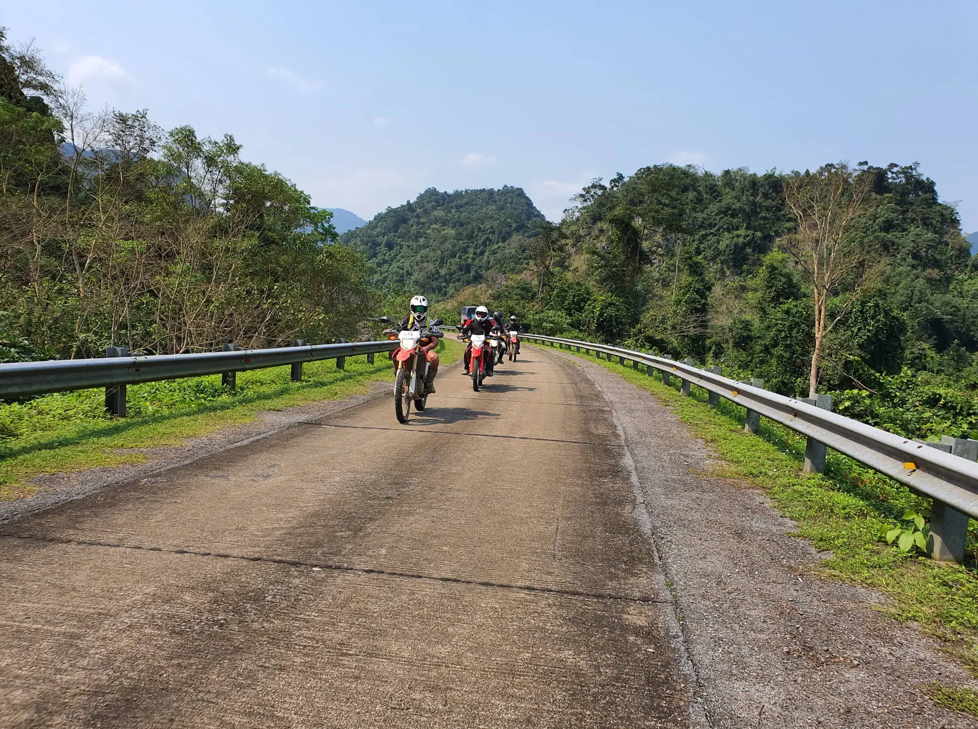 Duration:
11 Days / 10 Nites
Destinations:
Hanoi - Hoi An.
Tour Level:
Chill Level Tours
Duration:
11 Days / 10 Nites
Destinations:
Hanoi - Hoi An.
Tour Level:
Chill Level Tours
 Duration:
4 Days / 3 Nites
Destinations:
Hanoi - Vu Linh
Tour Level:
Chill Level Tours
Duration:
4 Days / 3 Nites
Destinations:
Hanoi - Vu Linh
Tour Level:
Chill Level Tours
 Duration:
6 Days/ 5 Nites
Destinations:
Hanoi - Thac Ba lake
Tour Level:
Chill Level Tours
Duration:
6 Days/ 5 Nites
Destinations:
Hanoi - Thac Ba lake
Tour Level:
Chill Level Tours
 Duration:
7 Days / 6 Nites
Destinations:
Hanoi - Sapa
Tour Level:
Chill Level Tours
Duration:
7 Days / 6 Nites
Destinations:
Hanoi - Sapa
Tour Level:
Chill Level Tours
 Duration:
7 Days/ 6 Nights
Destinations:
Hanoi - Moc Chau - Sapa
Tour Level:
Chill Level Tours
Duration:
7 Days/ 6 Nights
Destinations:
Hanoi - Moc Chau - Sapa
Tour Level:
Chill Level Tours
 Duration:
15 Days/ 14 Nites
Destinations:
Hanoi - Ha Long bay
Tour Level:
Chill Level Tours
Duration:
15 Days/ 14 Nites
Destinations:
Hanoi - Ha Long bay
Tour Level:
Chill Level Tours
 Duration:
4 Days/ 3 Nites
Destinations:
Hanoi - Thac Ba lake
Tour Level:
Chill Level Tours
Duration:
4 Days/ 3 Nites
Destinations:
Hanoi - Thac Ba lake
Tour Level:
Chill Level Tours
4-Day Northern Vietnam Motorbike Tour From Hanoi
 Duration:
4 Days/ 3 Nites
Duration:
4 Days/ 3 Nites
 Tour Level:
Chill Level Tours - Moderate Level Tours
Tour Level:
Chill Level Tours - Moderate Level Tours
Experience the authentic Vietnam
Ride off the beaten track
Visit beautiful Thac Ba Lake
Interact with lovely local people
Riding some scenic offroad tracks
Enjoy a variety of local foods
11-Day Top Vietnam Motorbike Tour
Duration:
11 Days / 10 Nites
Tour Level:
Chill Level Tours - Moderate Level Tours
Discover the legendary Ho Chi Minh trail
Learn a lot about Vietnam war history
Ride off the beaten track
Experience the authentic Vietnam
Interact with lovely local people
Ride some beautiful coastlines
4-Day Short North Vietnam Motorbike Tour
Duration:
4 Days / 3 Nites
Tour Level:
Chill Level Tours - Moderate Level Tours
Experience the authentic Vietnam
Interact with lovely local people
Visit beautiful Thac Ba lake
Ride off the beaten track
Enjoy a variety of local foods
Ride some scenic offroad tracks
6-Day Northwest Loop Motorbike Tour Vietnam
Duration:
6 Days/ 5 Nites
Tour Level:
Chill Level Tours - Moderate Level Tours
Experience the authentic Vietnam
Explore the hidden gems in Northwest
Visit beautiful Sapa
Ride off the beaten track
Enjoy great local food
Interact with lovely local people
7-Day Motorbike Tour In North Vietnam
Duration:
7 Days / 6 Nites
Tour Level:
Chill Level Tours - Moderate Level Tours
Experience authentic Vietnam
Interact with lovely local people
Ride off the beaten path
Visit all the "Must-See" in North
Enjoy scenic off-road trails
Learn about Vietnamese culture
7-Day Amazing Motorbike Tour To The Hidden Lands Vietnam
Duration:
7 Days/ 6 Nights
Tour Level:
Chill Level Tours - Moderate Level Tours
Discover hidden charms of Northwest Vietnam
Ride fun offroad
Experience the authentic Vietnam
Experience beautiful Sapa
Interact with lovely local people
Ride off the beaten track
Hanoi Street Food Tour
Duration:
15 Days/ 14 Nites
Tour Level:
Experience the authentic Vietnam
Explore beautiful nature in North Vietnam
Interact with lovely local people
Ride scenic offroad trails
Ride off the beaten track
Visit Natural Heritage Ha Long Bay
4-Day Northwest Vietnam Motorbike Tour
Duration:
4 Days/ 3 Nites
Tour Level:
Chill Level Tours - Moderate Level Tours
Experience the authentic Vietnam
Visit beautiful Thac Ba lake
Interact with lovely local people
See the quiet countryside Vietnam
Ride off the beaten track E
Enjoy great local food