Your message has been sent. Thank you!
 Your message has been sent. Thank you!
I'm ready to book
Hmm, I still need more information
My information
Detailed information
From $ USD
Ho Chi Minh Trail Motorcycle Tour – 12 Days

Duration:
12 Days/ 11 Nites

Destinations:
Hanoi - Nha Trang

Tour Level:
More offroad (>40%)

Highlight:
Destination:
Ha Noi
Mai Chau
Tan Ky
Phong Nha
Ke Bang National park
Khe Sanh
Vinh Moc tunnels
Hue
Da Nang
Hoi An
Kon Tum
Buon Me Thuat
Lak Lake
Nha Trang
Pickup from:
Hanoi, Airport or any hotel in Ha Noi city
Suitable Bikes:
Honda XR150L, Honda CRF300L,


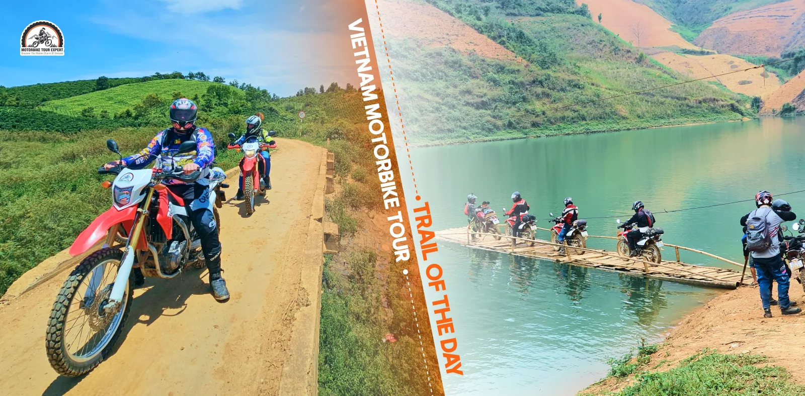
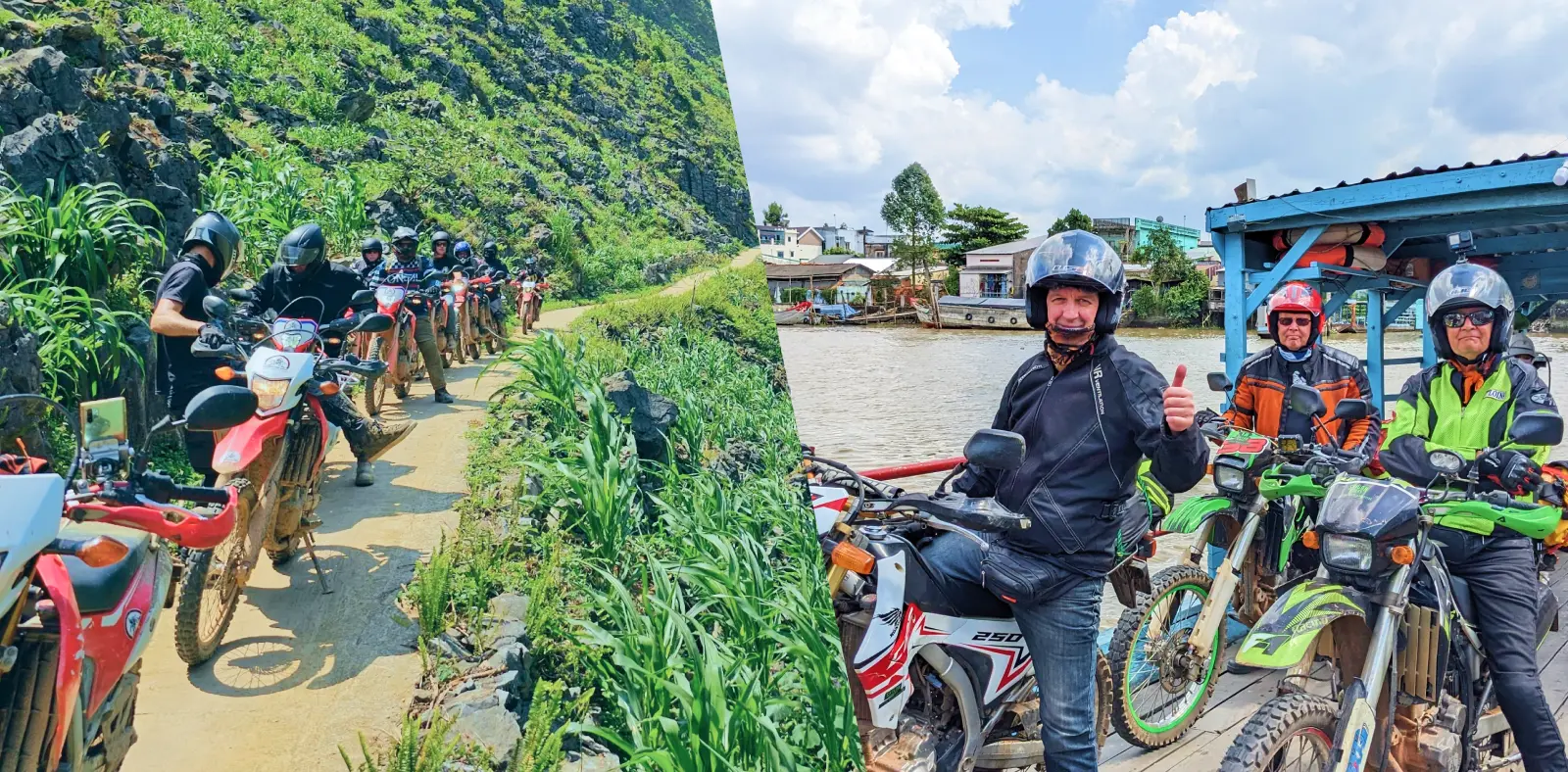

Once a legendary military logistics corridor during the 20th century, the Ho Chi Minh Trail (Truong Son Road) traverses some of Vietnam’s most rugged and diverse terrain. Today, it stands as one of Southeast Asia’s premier overland motorcycle expeditions, taking riders from wide-open central plateaus to technical mountain passes. Below is your complete guide and motorbike map to the Ho Chi Minh Trail, featuring key stops, route breakdowns, and essential road logistics before kicking off your ride.
Spanning over 3,183 km, the Ho Chi Minh Highway runs from Pac Bo (Cao Bang) in the far north to Dat Mui (Ca Mau) at the southern tip of Vietnam, crossing roughly 28 provinces. The route cuts through the Northern Highlands, North-Central Coast, Central Highlands, and the Southern Plains, delivering an ever-changing landscape of mountain switchbacks, red-dirt plateaus, and coastal lowlands.
This southern leg breaks away from the urban sprawl of Ho Chi Minh City and climbs into the cooler altitudes of the Central Highlands. The ride pairs smooth, multi-lane national highways with the distinctive red-basalt landscapes of Vietnam’s coffee country.
Route & mileage
Terrain & road conditions:
Most of QL14 features wide, smooth asphalt that permits consistent cruising speeds. However, constant vigilance is required: heavy industrial trucks and interprovincial sleeper buses use this route heavily. Always maintain a safe following distance.
Logistics & amenities
Key highlights & landmarks
Safety alert: Traffic volume is heavy through Binh Duong and the northern outskirts of HCMC. Give large commercial vehicles a wide berth, execute overtakes cleanly, and stay alert at rural intersections.
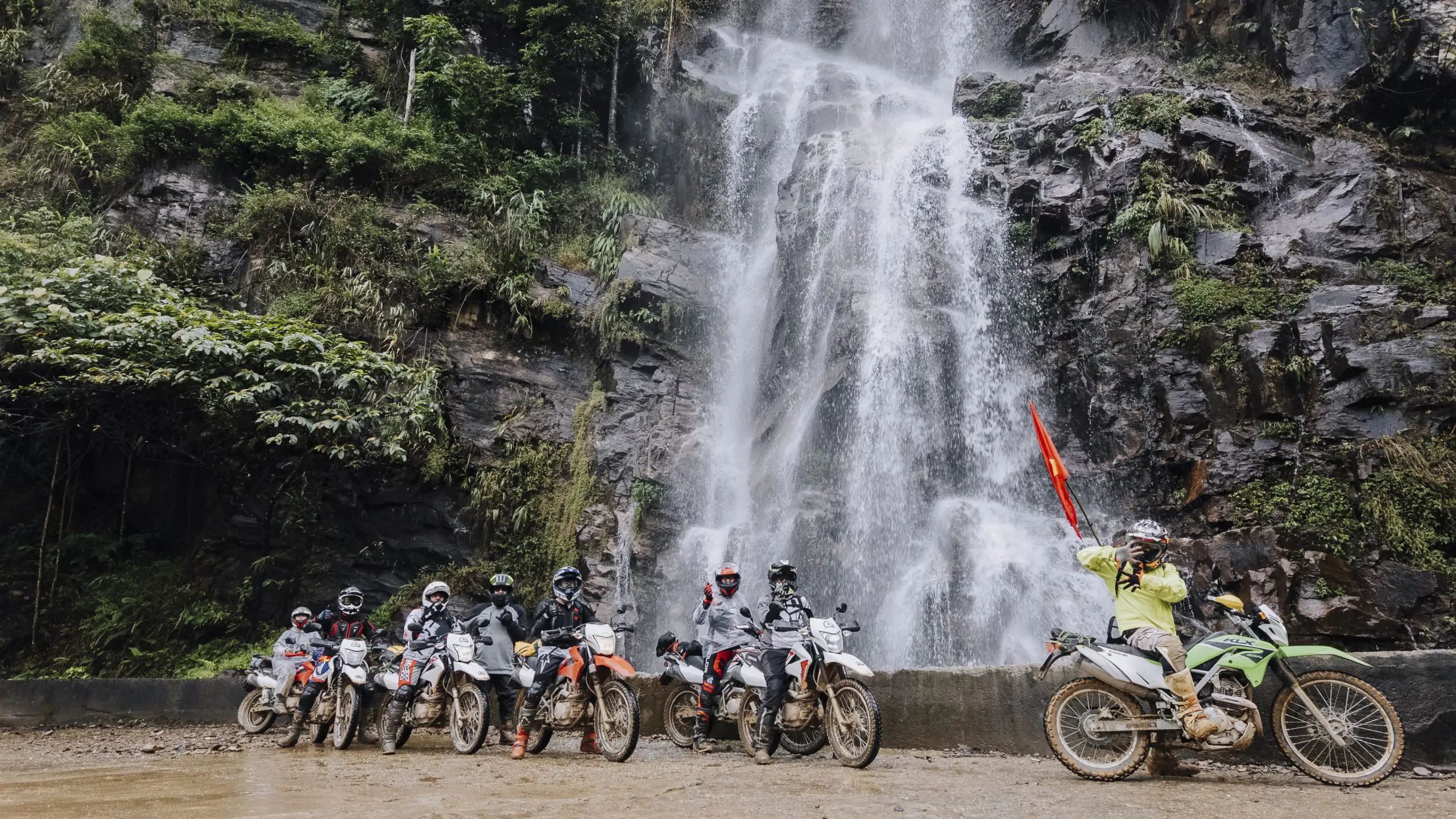
The 950-km run from Kon Tum to Phong Nha represents the scenic heart of the Ho Chi Minh Trail. This leg offers an exhilarating transition from wind-swept plateaus to the dramatic valleys and jungle-cloaked karst peaks of Central Vietnam.
Route & mileage:
Terrain & road conditions:
Many passes feature tight, blind corners prone to sudden mountain mist and rain. Smooth throttle control and defensive riding take priority over sheer speed here.
Logistics & amenities:
Key highlights & landscape:
The final sector connects the karst wilderness of Phong Nha back to the capital city of Hanoi. Spanning roughly 550 km, this leg trades highland plateaus for the limestone foothills and dense river plains of Northern Vietnam.
Route & mileage
Terrain & road conditions:
The route gradually transitions from the karst landscapes of Central Vietnam to lower hills and flatter roads as you travel north toward the Red River Delta. Roads become busier and more urbanized near Hanoi, with heavier traffic, more intersections, and frequent lane changes on major roads.
Logistics & amenities:
Key highlights & landmarks:
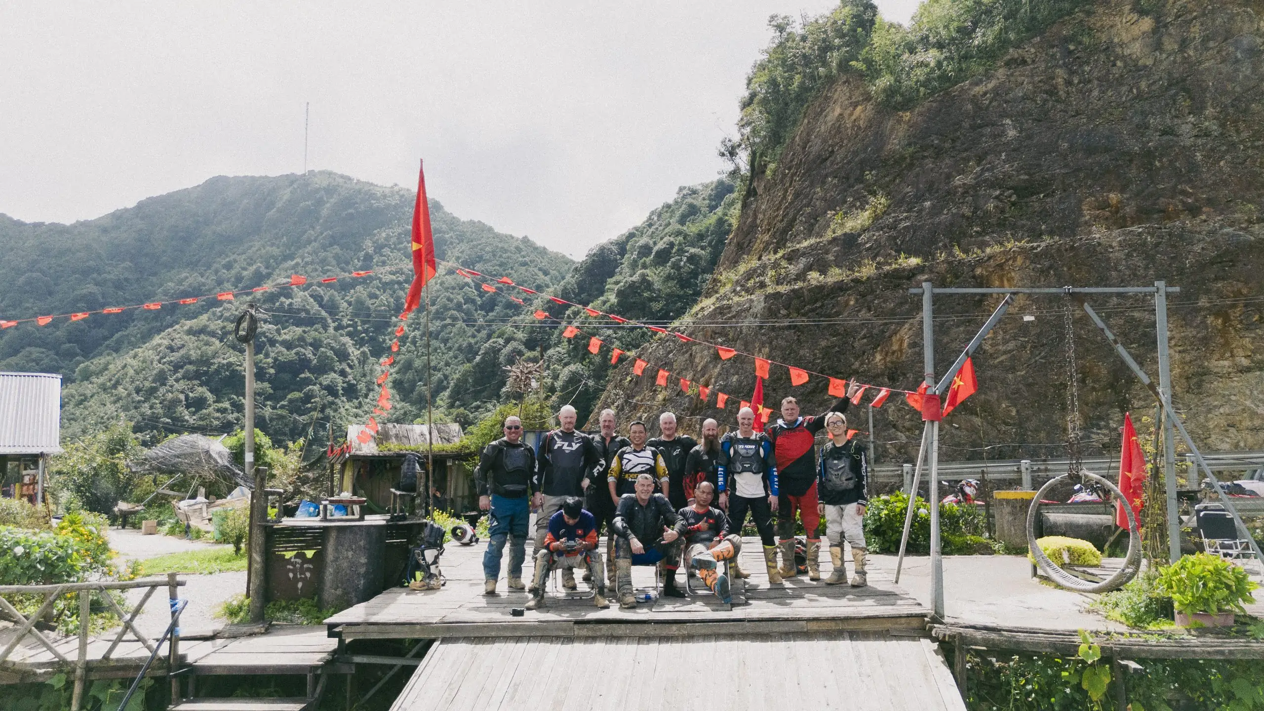
Conquering the Ho Chi Minh Trail requires thorough prep work beyond packing a bag and checking a GPS map. Dialing in your bike, gear, weather window, and riding habits will make or break your trip.
(1) Choose the right motorbike
For long distances and steep mountain passes, a semi-automatic (e.g., Honda Wave 110cc) or a manual dual-sport/touring bike (e.g., Honda XR150L, Honda CB500X) provides better control and engine braking on steep roads. Choose a bike that matches your riding experience and the terrain, especially when tackling remote mountain routes.
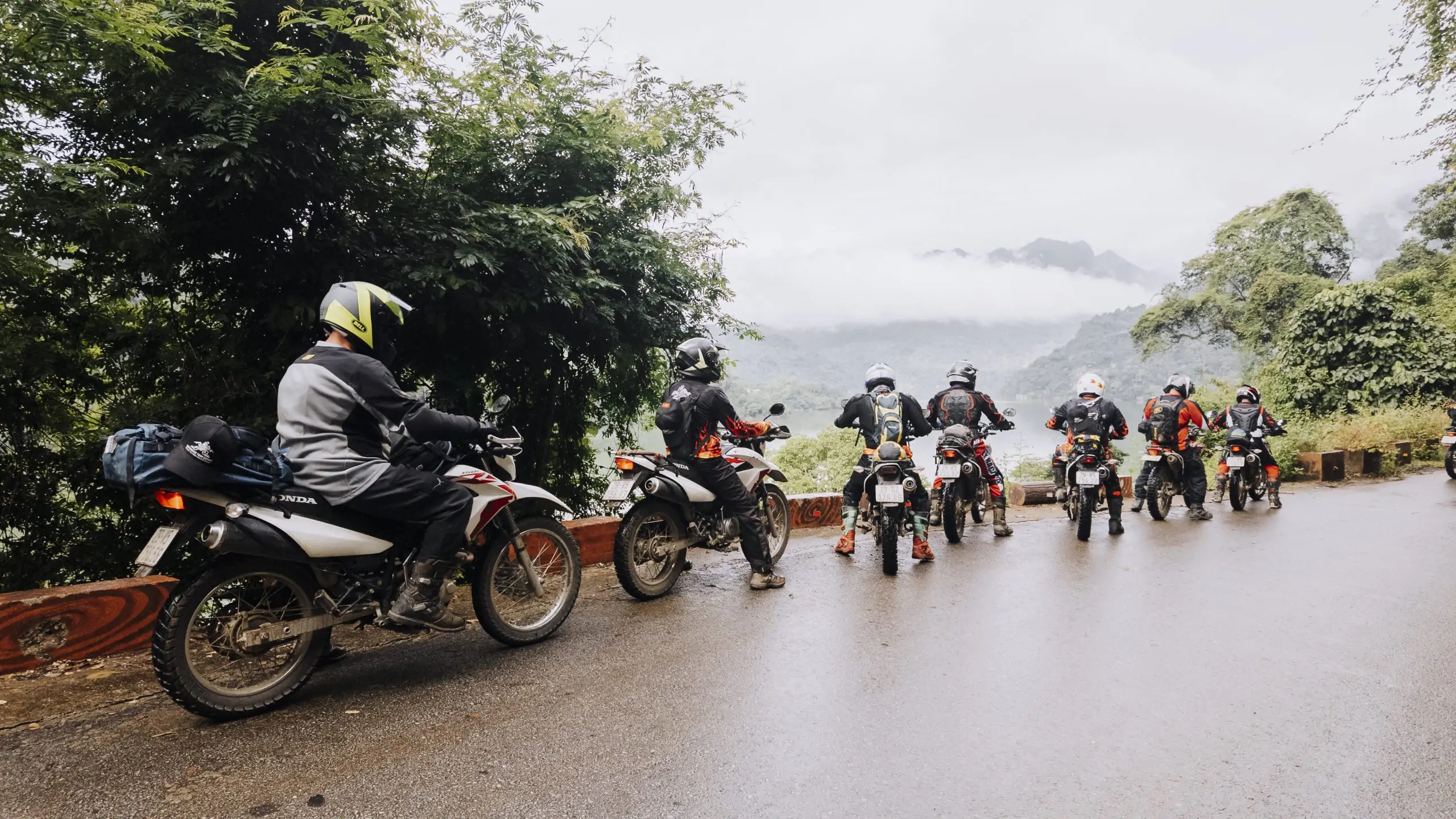
Run a comprehensive pre-trip inspection: check tire tread depth, brake pads, sprockets, drive chain tension, engine oil, and lighting. If renting, ask the provider to confirm that the bike has been properly maintained and inspected before departure, particularly for longer or more remote routes.
(2) Fuel strategy & offline maps
Remote mountain segments, particularly the Ho Chi Minh Western Branch, can run 100+ km without a reliable fuel station. Fill up whenever your tank drops below half and carry enough reserve fuel to cover the next long stretch without refueling. Before leaving, download the route area for offline use in Google Maps or save your GPX track to your phone, as mobile coverage can disappear in deep valleys and offline navigation helps you stay on route when there is no signal.
(3) Target the best weather window
February to may offers the best riding conditions, featuring dry pavement, mild temperatures, and clear mountain vistas. Avoid riding between september and november, when Central Vietnam experiences intense monsoon rains, localized flooding, and dangerous mountain landslides.
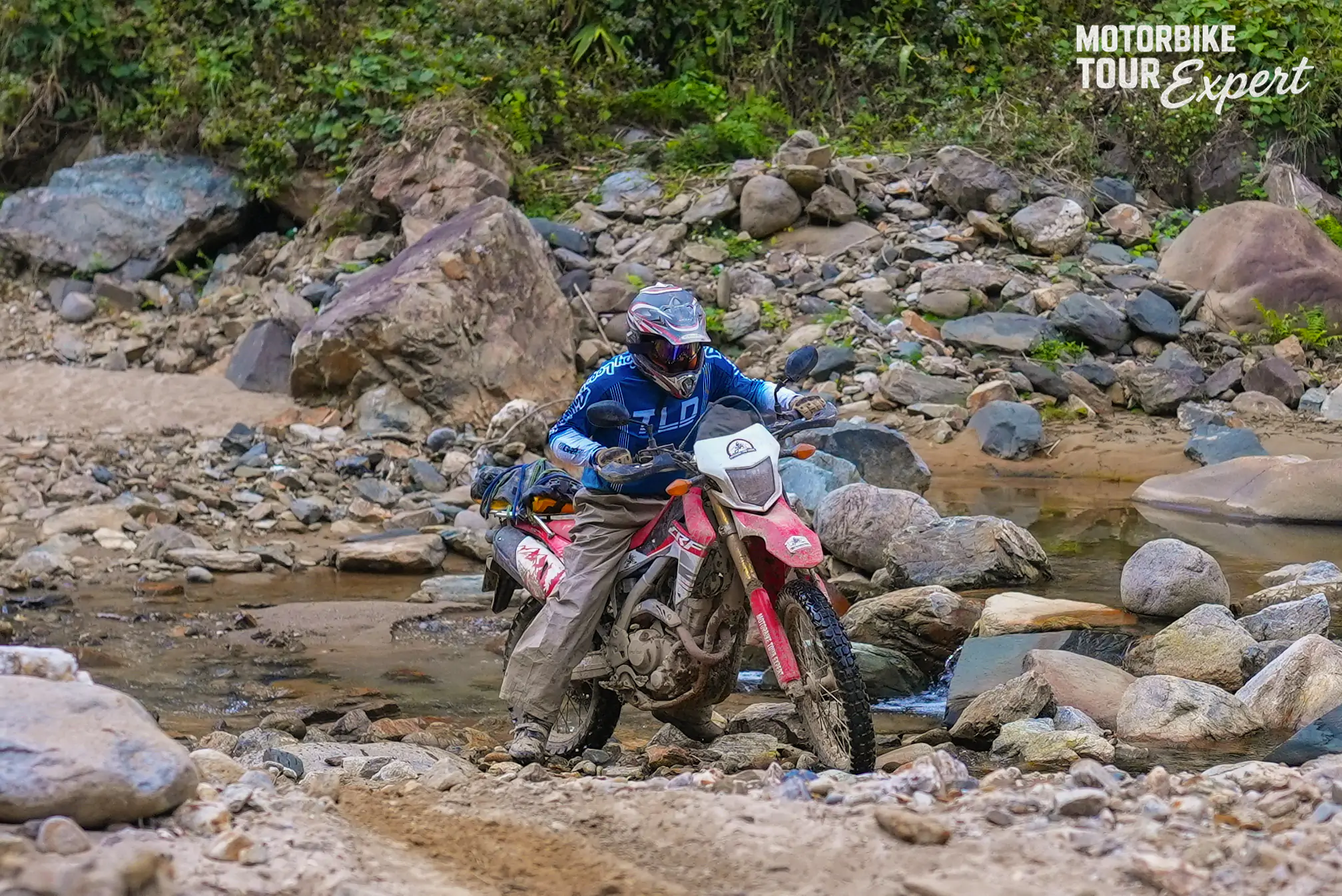
Automatic scooters should be avoided on remote mountain switchbacks due to CVT brake fade on prolonged descents.
(4) Essential personal riding gear
Pack light, durable, and weather-ready gear. Keep electronics and documents sealed inside dry bags:
(5) Mountain riding technique
When descending steep passes, adhere to the golden rule: “Climb in gear, descend in that same gear.” Rely on engine braking to regulate your downhill momentum rather than dragging your brakes, which leads to boiled brake fluid and sudden brake failure.
Never pull the clutch to coast downhill (freewheeling). Brake smoothly before entering a curve, hold your line, and keep your headlights on in mist or fog. Never ride aggressively to make up lost time safety always trumps the schedule.
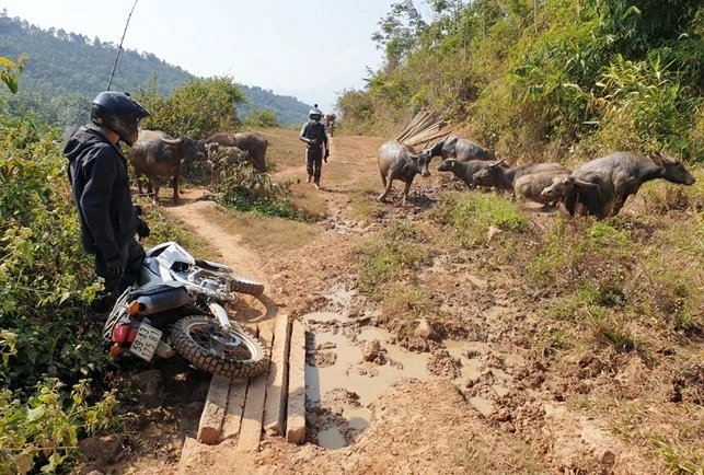
Mountain routes can present unexpected hazards, so knowing the most common risks and how to respond can help you ride more safely. Specifically:
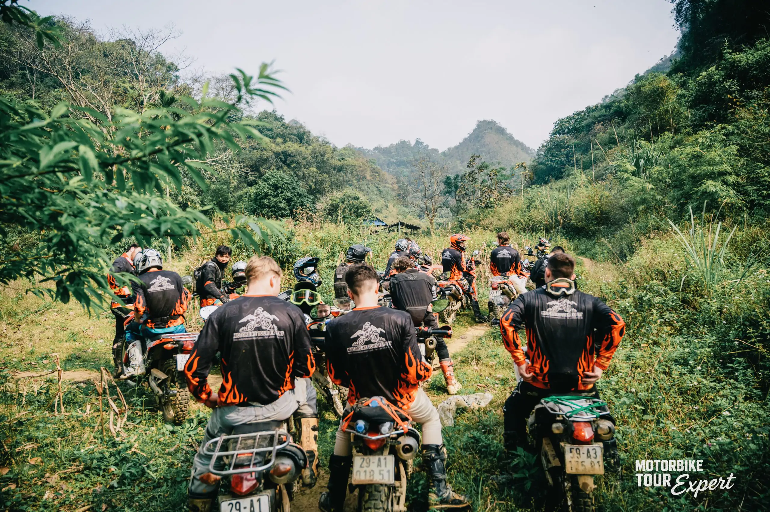
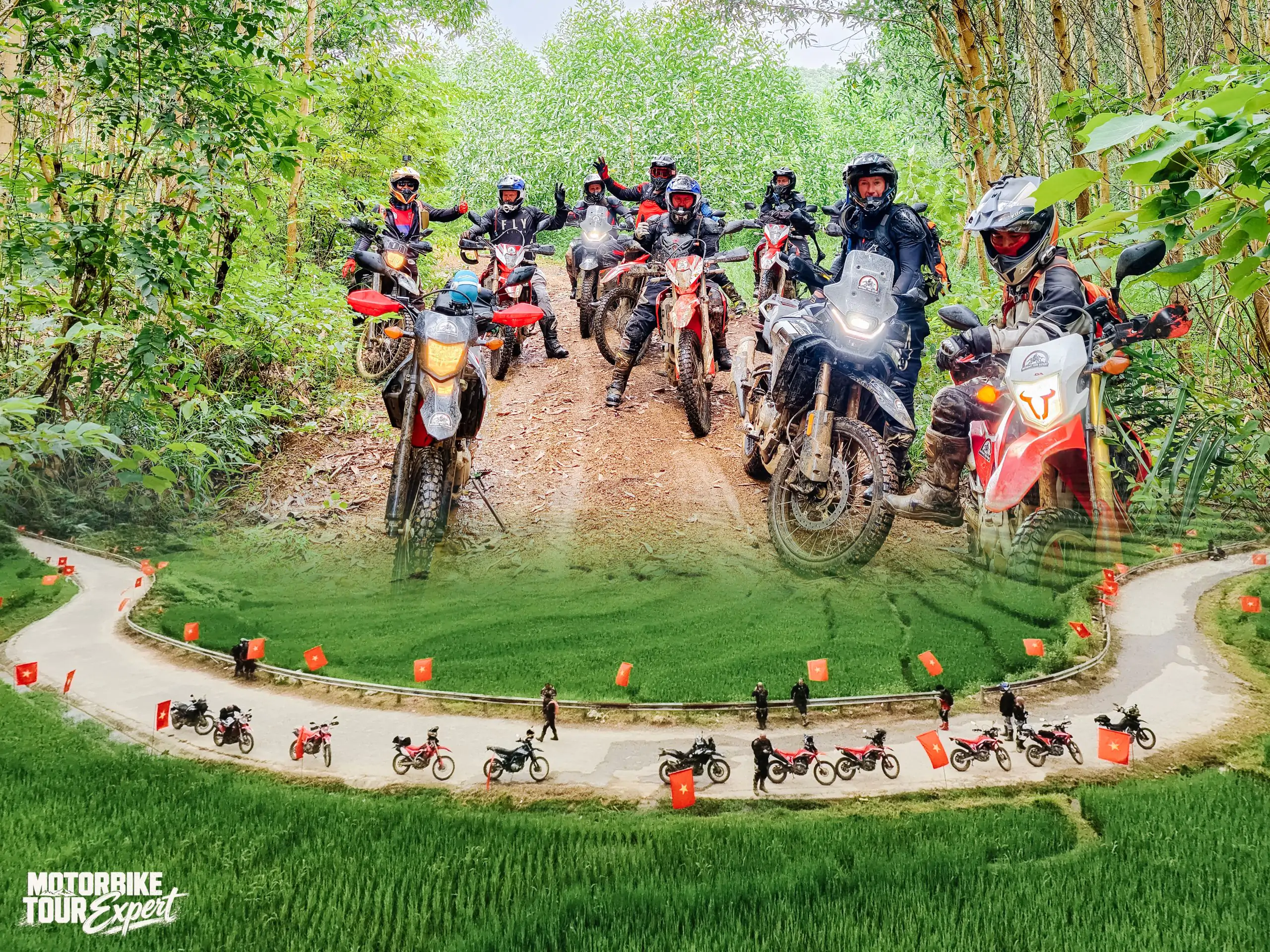
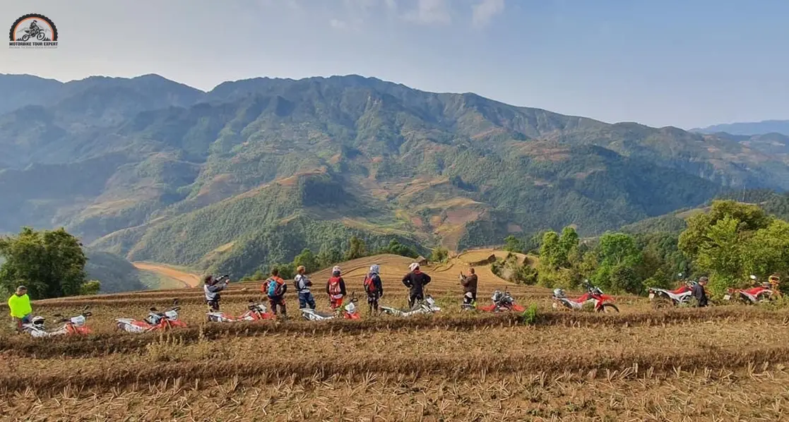
The convoy gathered to prepare before entering the route through dense, hilly terrain.
Riding the Ho Chi Minh Trail on two wheels is far more than crossing miles off a map – it is an unfiltered look into the heart of Vietnam’s rugged highlands, storied battlegrounds, and remote cultural pockets. With the right machine, sharp focus, and respect for the road, this classic journey remains one of the finest motorcycle routes in the world. Safe travels!
LET'S RIDE WITH US
 Duration:
4 Days/ 3 Nites
Destinations:
Hanoi - Vu Linh - Phu Yen - Moc Chau - Mai Chau - Hanoi.
Tour Level:
Chill Level Tours
Duration:
4 Days/ 3 Nites
Destinations:
Hanoi - Vu Linh - Phu Yen - Moc Chau - Mai Chau - Hanoi.
Tour Level:
Chill Level Tours
 Duration:
2 Days / 1 Nite
Destinations:
Hanoi - Mai Chau valley
Tour Level:
Chill Level Tours
Duration:
2 Days / 1 Nite
Destinations:
Hanoi - Mai Chau valley
Tour Level:
Chill Level Tours
 Duration:
3 Days / 2 Nites
Destinations:
Hanoi - Tam Coc
Tour Level:
Chill Level Tours
Duration:
3 Days / 2 Nites
Destinations:
Hanoi - Tam Coc
Tour Level:
Chill Level Tours
 Duration:
3 Days / 2 Nites
Destinations:
Hanoi - Hanoi
Tour Level:
Chill Level Tours
Duration:
3 Days / 2 Nites
Destinations:
Hanoi - Hanoi
Tour Level:
Chill Level Tours
 Duration:
8 Days / 7 Nites
Destinations:
Hoi An - Quang Ngai
Tour Level:
Chill Level Tours
Duration:
8 Days / 7 Nites
Destinations:
Hoi An - Quang Ngai
Tour Level:
Chill Level Tours
 Duration:
10 Days/ 9 Nights
Destinations:
Hanoi - Dien Bien Phu
Tour Level:
Chill Level Tours
Duration:
10 Days/ 9 Nights
Destinations:
Hanoi - Dien Bien Phu
Tour Level:
Chill Level Tours
 Duration:
7 Days / 6 Nites
Destinations:
Sai Gon - Phan Thiet
Tour Level:
Chill Level Tours
Duration:
7 Days / 6 Nites
Destinations:
Sai Gon - Phan Thiet
Tour Level:
Chill Level Tours
 Duration:
3 Days / 2 Nites
Destinations:
Hanoi - Mai Chau
Tour Level:
Chill Level Tours
Duration:
3 Days / 2 Nites
Destinations:
Hanoi - Mai Chau
Tour Level:
Chill Level Tours
4-Day Northern Vietnam Motorbike Tour From Hanoi
 Duration:
4 Days/ 3 Nites
Duration:
4 Days/ 3 Nites
 Tour Level:
Chill Level Tours - Moderate Level Tours
Tour Level:
Chill Level Tours - Moderate Level Tours
Experience the authentic Vietnam
Ride off the beaten track
Visit beautiful Thac Ba Lake
Interact with lovely local people
Riding some scenic offroad tracks
Enjoy a variety of local foods
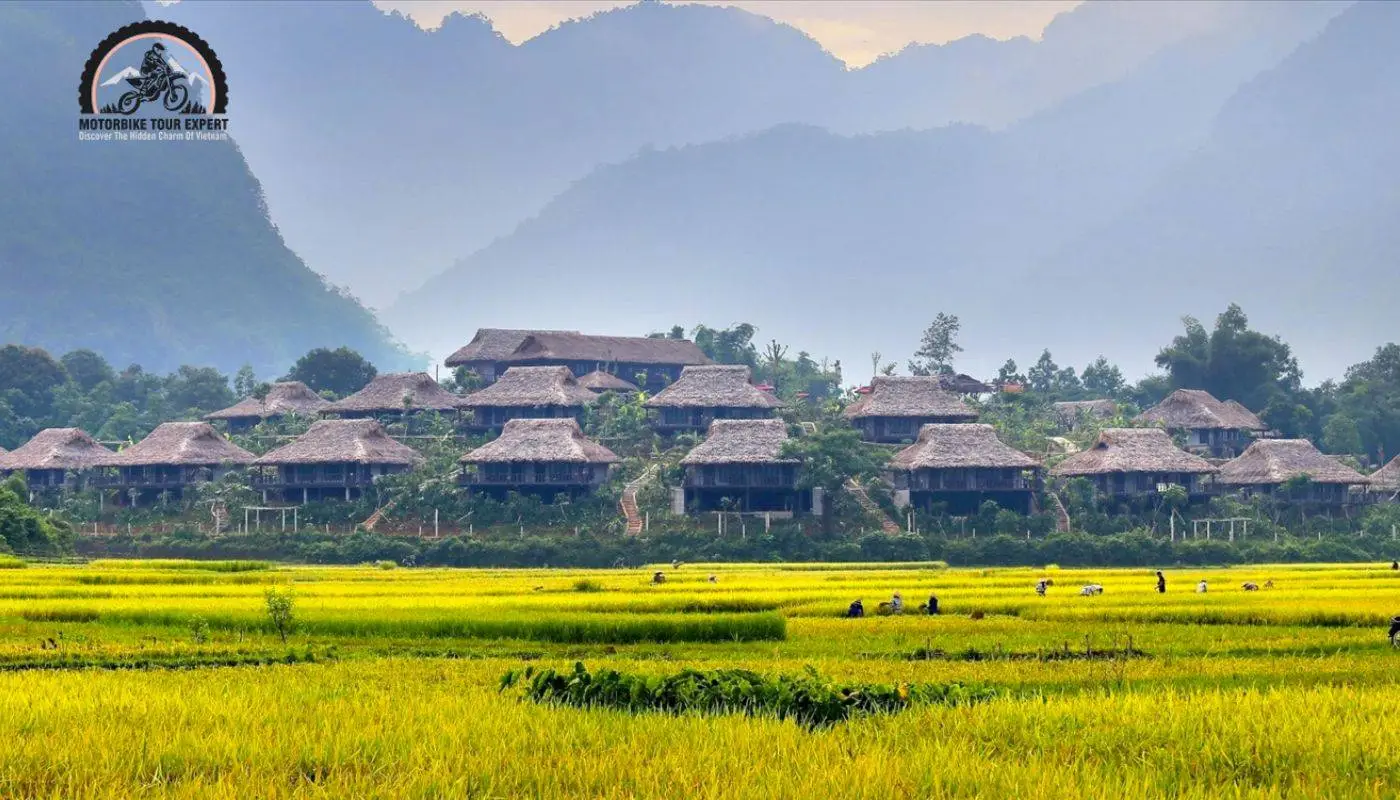
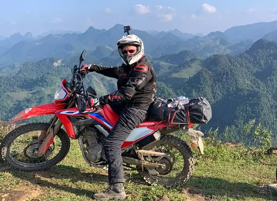
2-Day Short Motorbike Tour to Mai Chau
Duration:
2 Days / 1 Nite
Tour Level:
Chill Level Tours
Experience the authentic Vietnam
Enjoy a variety of local foods
Riding some fun offroad trails
Ride off the beaten track
Interact with lovely local people
Experience the interesting tradition of the Thai people
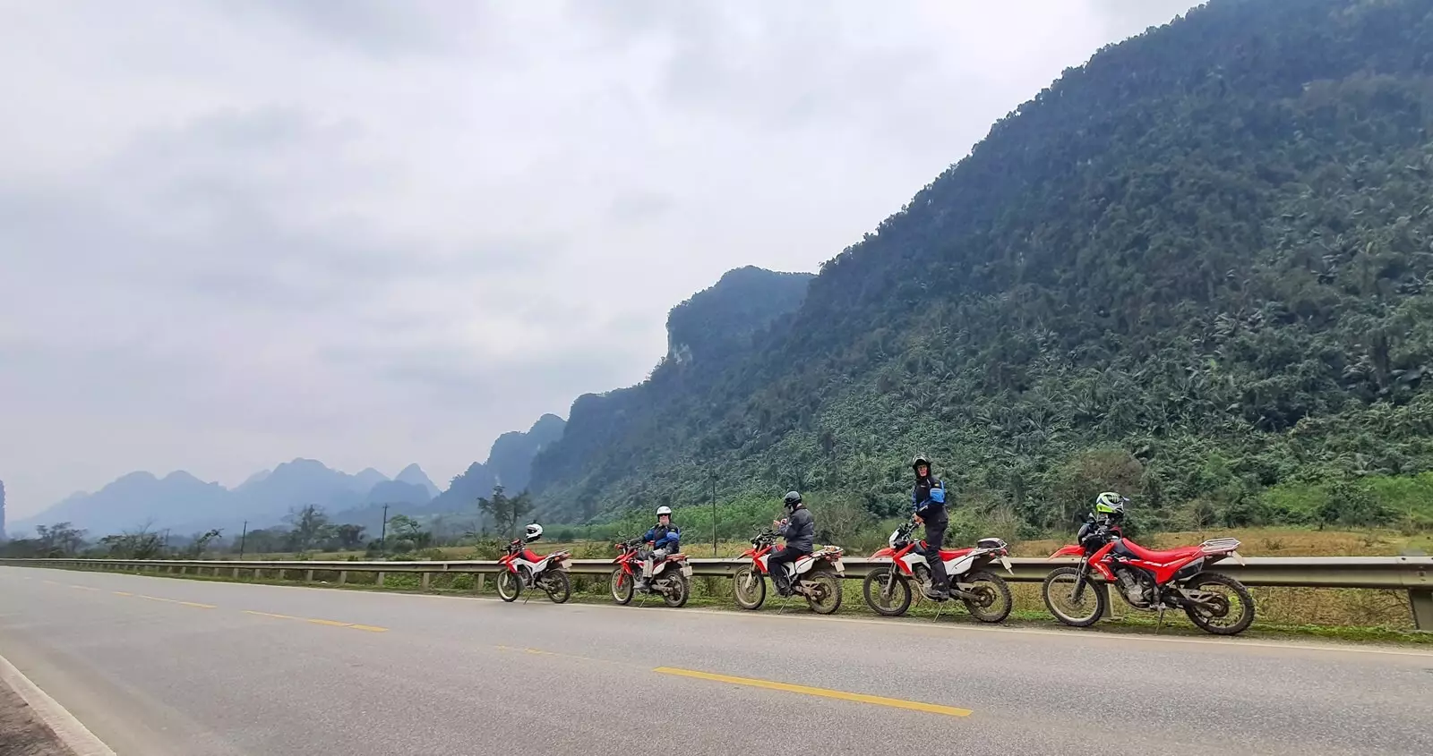
3-Day Vietnam Motobike Tour To Mai Chau – Tam Coc
Duration:
3 Days / 2 Nites
Tour Level:
Interact with lovely local people
Experience the authentic Vietnam
Visit Natural World Heritage Trang An
Enjoy a variety of local foods
Ride some fun offroad track
Ride off the beaten track
3-Day Short Motorcycle Tour Northern Vietnam
Duration:
3 Days / 2 Nites
Tour Level:
Chill Level Tours
Experience the authentic Vietnam
Interact with lovely local people
Ride off the beaten track
Ride some fun offroad
Visit beautiful Thac Ba lake
Enjoy a variety of local foods
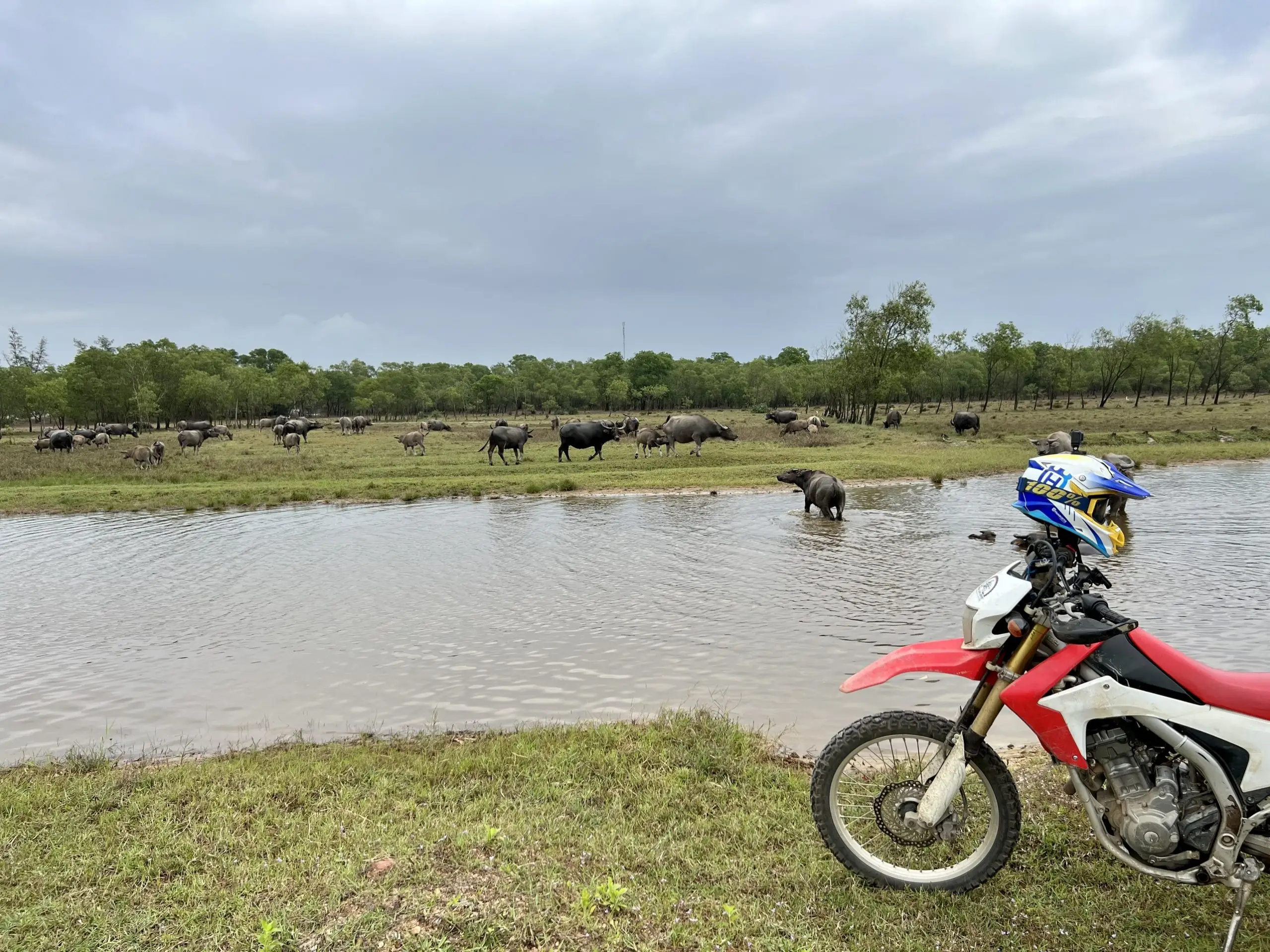
8-Day Great Motorcycle Tour from Hoi An
Duration:
8 Days / 7 Nites
Tour Level:
Experience the authentic Vietnam
Ride some beautiful coastlines
Visit special historical sites
Ride off the beaten track
Explore the Ho Chi Minh trail
Interact with lovely local people
10-Day Special Ride Northwest Vietnam
Duration:
10 Days/ 9 Nights
Tour Level:
Challenging Level Tours - Moderate Level Tours
Experience the authentic Vietnam e
Interact with lovely local peopl
Ride fun offroad track
Ride off the beaten track
Visit beautiful Thac Ba lake
Discover the hidden beauty of Northwest
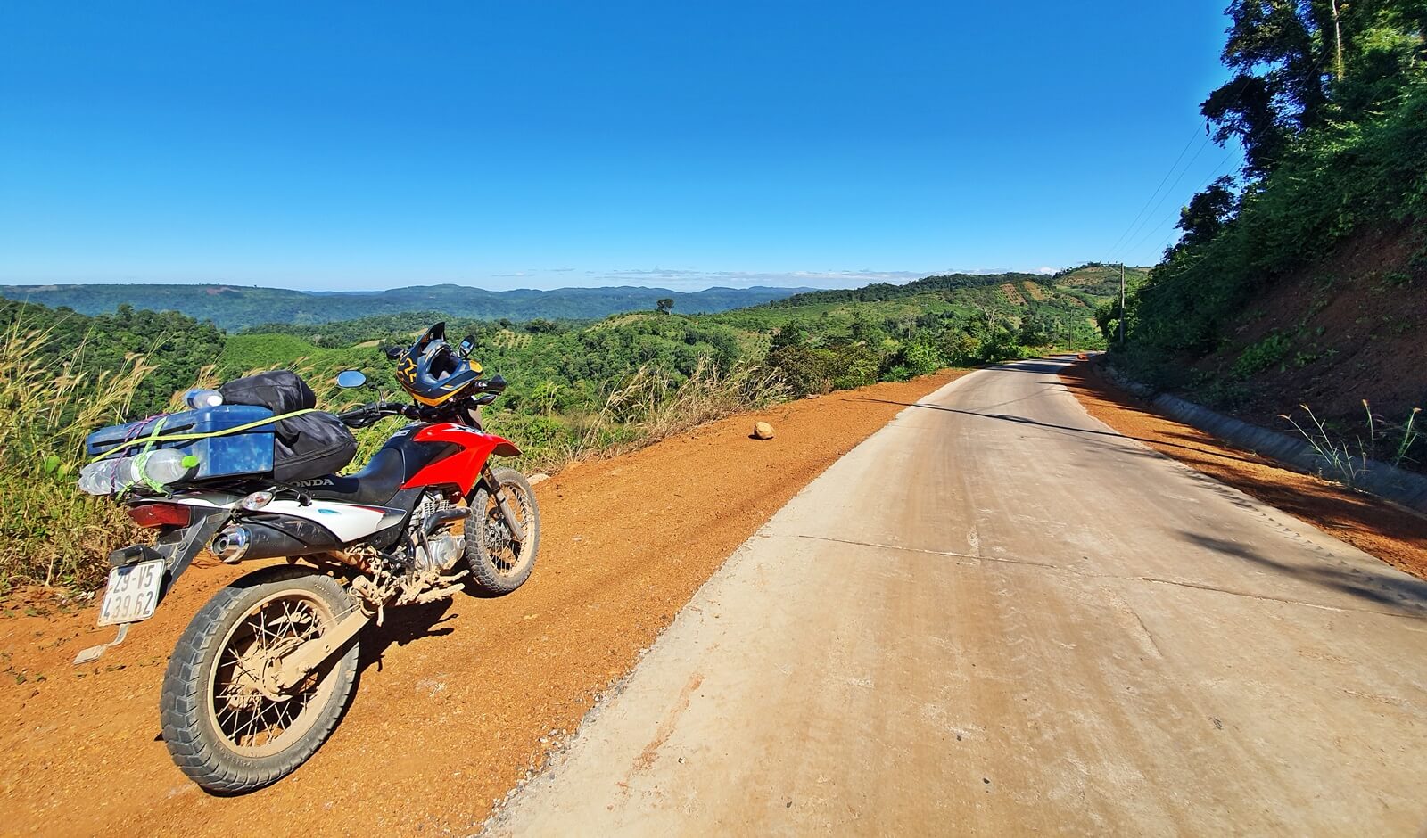
7-Day South Vietnam Motorbike Tour
Duration:
7 Days / 6 Nites
Tour Level:
Chill Level Tours
Experience authentic Vietnam
Explore Mekong delta
Interact with lovely local people
Enjoy a variety of Vietnamese food
Ride some scenic off-road trails
Ride off the beaten path
3-Day Short Northwest Vietnam Motorbike Tour
Duration:
3 Days / 2 Nites
Tour Level:
Chill Level Tours
Interact with lovely local people
Riding some fun offroad tracks
Ride off the beaten track
Stay at homestay with the local
Experience the authentic Vietnam
Enjoy a variety of local foods